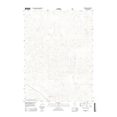
2014 Map of Dunning NW
USGS Topo · Published 2014About this map
The Middle Loup River winds through the southwestern corner of this Sandhills landscape, marking a distinct transition from the rolling dune topography to the riparian corridor. This 2014 survey captures a section of the Nebraska National Forest, an area notable for being one of the largest hand-planted forests in the United States, established in the early 20th century. The land is largely defined by the characteristic geomorphology of the Nebraska Sandhills, with sparse road access limited to routes like Sandhills Rd and Sandy Ave. The map reflects the region's ranching and conservation character, showing the vast open spaces that have remained relatively unchanged in their basic structural layout over decades of land management by the U.S. Forest Service.
Find a feature on this map
4 named features on this map. Tap any name to fly to it.
Don’t see what you’re looking for? This feature index may not catch every label — zoom into the map to look around manually.
Map Details
Editions of this 2014 Dunning NW Map
This is the sole edition of this map. No revisions or reprints were ever made.
Other maps of this area

1948 · Halsey
USGS Topo · 1:62,500

1949 · Purdum
USGS Topo · 1:62,500

1949 · Koshopah
USGS Topo · 1:62,500

1950 · Halsey
USGS Topo · 1:62,500

1951 · Dunning
USGS Topo · 1:62,500

1951 · Purdum
USGS Topo · 1:62,500

1951 · Koshopah
USGS Topo · 1:62,500

1954 · North Platte
USGS Topo · 1:250,000

1956 · North Platte
USGS Topo · 1:250,000

1957 · North Platte
USGS Topo · 1:250,000