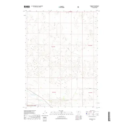
2017 Map of Dunning NW
USGS Topo · Published 2017About this map
Middle Loup River winds through the southwestern corner of this landscape, carving a rare riparian corridor through the characteristic dune formations of Blaine County. This 2017 survey reveals an area largely defined by the expansive Nebraska National Forest, where the terrain is dominated by a dense pattern of north-northwest to south-southeast trending ridgelines. These geographic features reflect the undulating topography of the sandhills, where water is the primary sculptor of the local economy and ecology. Transport is restricted to a sparse network of section-line tracks and local routes such as Sandy Ave and Sandhills Dr, which navigate the depressions between the stabilized dunes. The map provides a detailed view of the township and range system, including t23n r25w, illustrating the late-modern land management patterns in this portion of the Great Plains.
Find a feature on this map
9 named features on this map. Tap any name to fly to it.
Don’t see what you’re looking for? This feature index may not catch every label — zoom into the map to look around manually.
Map Details
Editions of this 2017 Dunning NW Map
This is the sole edition of this map. No revisions or reprints were ever made.
Other maps of this area

1948 · Halsey
USGS Topo · 1:62,500

1949 · Purdum
USGS Topo · 1:62,500

1949 · Koshopah
USGS Topo · 1:62,500

1950 · Halsey
USGS Topo · 1:62,500

1951 · Dunning
USGS Topo · 1:62,500

1951 · Purdum
USGS Topo · 1:62,500

1951 · Koshopah
USGS Topo · 1:62,500

1954 · North Platte
USGS Topo · 1:250,000

1956 · North Platte
USGS Topo · 1:250,000

1957 · North Platte
USGS Topo · 1:250,000