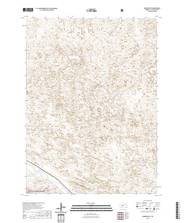
2021 Map of Dunning NW
USGS Topo · Published 2021About this map
Middle Loup River winds through the southern reaches of this landscape, marking a distinct riparian corridor amidst the rolling topography of Blaine County. This 2021 survey illustrates the sparsely populated Sandhills region, where the vast Nebraska National Forest occupies a significant portion of the southwestern corner. The map traces the essential transportation arteries of this rural area, including the straight north-south path of Sandy Ave and the eastward stretch of Sandhills Dr. This documentation is particularly valuable for understanding modern land management and forest boundaries in Nebraska's interior, showing how survey lines like t23n r25w divide the territory into the traditional township and range grid.
Find a feature on this map
9 named features on this map. Tap any name to fly to it.
Don’t see what you’re looking for? This feature index may not catch every label — zoom into the map to look around manually.
Map Details
Editions of this 2021 Dunning NW Map
This is the sole edition of this map. No revisions or reprints were ever made.
Other maps of this area

1948 · Halsey
USGS Topo · 1:62,500

1949 · Purdum
USGS Topo · 1:62,500

1949 · Koshopah
USGS Topo · 1:62,500

1950 · Halsey
USGS Topo · 1:62,500

1951 · Dunning
USGS Topo · 1:62,500

1951 · Purdum
USGS Topo · 1:62,500

1951 · Koshopah
USGS Topo · 1:62,500

1954 · North Platte
USGS Topo · 1:250,000

1956 · North Platte
USGS Topo · 1:250,000

1957 · North Platte
USGS Topo · 1:250,000