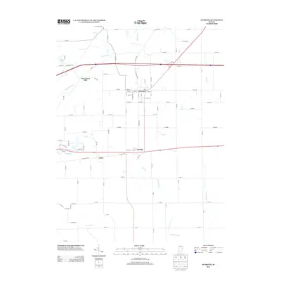
2013 Map of Dunreith
USGS Topo · Published 2013About this map
Spiceland and Dunreith serve as the primary hubs in this central Indiana landscape, where a dense network of county roads intersects with larger thoroughfares and traditional watercourses. The local terrain is defined by the drainage of the Big Blue River and Little Blue River, which are joined by numerous smaller tributaries such as Shankatank Cr and Buck Cr. The name Stone Quarry Mills suggests a history of local industry tied to the river's resources, while the presence of Knightstown Spring and Lake Haven highlights the importance of water for both utility and recreation. Smaller settlements like Ogden anchor the southern portion of the map, illustrating the persistent rural settlement pattern of Henry County. The map details the transition from established town grids to expansive agricultural plots, captured before contemporary development further altered the rural character of these townships.
Find a feature on this map
91 named features on this map. Tap any name to fly to it.
Don’t see what you’re looking for? This feature index may not catch every label — zoom into the map to look around manually.
Map Details
Editions of this 2013 Dunreith Map
This is the sole edition of this map. No revisions or reprints were ever made.
Other maps of this area

1948 · Lewisville
USGS Topo · 1:24,000

1949 · New Castle West
USGS Topo · 1:24,000

1950 · New Castle East
USGS Topo · 1:24,000

1950 · Dunreith
USGS Topo · 1:24,000

1950 · Lewisville
USGS Topo · 1:24,000

1953 · Cincinnati
USGS Topo · 1:250,000

1957 · Cincinnati
USGS Topo · 1:250,000

1959 · Mays
USGS Topo · 1:24,000

1959 · Falmouth
USGS Topo · 1:24,000

1960 · New Castle West
USGS Topo · 1:24,000