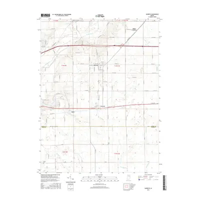
2016 Map of Dunreith
USGS Topo · Published 2016About this map
Spiceland and Dunreith anchor this western Henry County landscape, where the agricultural grid meets the historic transit corridors of east-central Indiana. The path of the National Rd and Old US Hwy 40 runs east-west through the southern portion of the sheet, passing through the small settlement of Ogden. This area is defined by its numerous small waterways, including the Big Blue River, Buck Cr, and Little Blue River, which carve subtle valleys into the till plain. Genealogists will find several burial sites preserved across the townships, such as Shiloh Cem and Reddick Cem to the south, and Mason Cem near the northern boundary. The reach of New Castle is visible in the northeast, while landmarks like Knightstown Spring and Lake Haven dot the western edge, reflecting the local importance of water resources in the regional geography.
Find a feature on this map
61 named features on this map. Tap any name to fly to it.
Don’t see what you’re looking for? This feature index may not catch every label — zoom into the map to look around manually.
Map Details
Editions of this 2016 Dunreith Map
This is the sole edition of this map. No revisions or reprints were ever made.
Other maps of this area

1948 · Lewisville
USGS Topo · 1:24,000

1949 · New Castle West
USGS Topo · 1:24,000

1950 · New Castle East
USGS Topo · 1:24,000

1950 · Dunreith
USGS Topo · 1:24,000

1950 · Lewisville
USGS Topo · 1:24,000

1953 · Cincinnati
USGS Topo · 1:250,000

1957 · Cincinnati
USGS Topo · 1:250,000

1959 · Mays
USGS Topo · 1:24,000

1959 · Falmouth
USGS Topo · 1:24,000

1960 · New Castle West
USGS Topo · 1:24,000