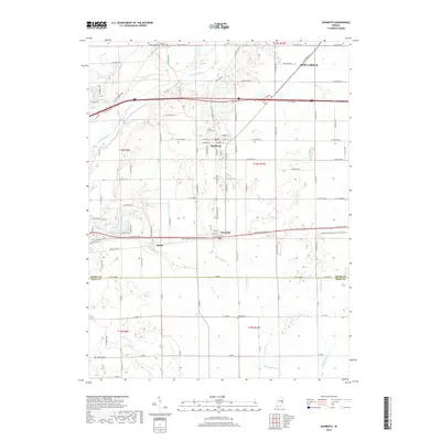
2019 Map of Dunreith
USGS Topo · Published 2019About this map
Spiceland and Dunreith anchor this southern Henry County landscape, where the historic National Rd cuts a direct east-west path through the terrain. The settlement pattern follows both the rigid grid of county roads and the natural contours of the Big Blue River and its numerous tributaries. For genealogists, the map is particularly detailed, locating family-named and community burial grounds including Mason Cem, Hicksite Cem, and the Circle Grove Cem within the town limits of Spiceland. Further south, near the Rush County line, the village of Ogden sits just north of the Buck Creek headwaters. The topography is defined by the subtle drainage basins of the Little Blue River and Shankatank Cr, illustrating the agricultural layout of central Indiana in the early 21st century.
Find a feature on this map
86 named features on this map. Tap any name to fly to it.
Don’t see what you’re looking for? This feature index may not catch every label — zoom into the map to look around manually.
Map Details
Editions of this 2019 Dunreith Map
This is the sole edition of this map. No revisions or reprints were ever made.
Other maps of this area

1948 · Lewisville
USGS Topo · 1:24,000

1949 · New Castle West
USGS Topo · 1:24,000

1950 · New Castle East
USGS Topo · 1:24,000

1950 · Dunreith
USGS Topo · 1:24,000

1950 · Lewisville
USGS Topo · 1:24,000

1953 · Cincinnati
USGS Topo · 1:250,000

1957 · Cincinnati
USGS Topo · 1:250,000

1959 · Mays
USGS Topo · 1:24,000

1959 · Falmouth
USGS Topo · 1:24,000

1960 · New Castle West
USGS Topo · 1:24,000