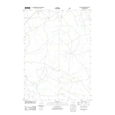
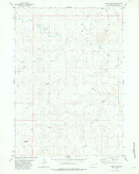
2012 Map of Dupont Creek
USGS Topo · Published 2012About this map
The Finn Oil Field serves as a primary industrial landmark in this corner of Weston County, illustrating the ongoing importance of energy extraction to the local economy. The landscape is defined by its drainage network, with Dupont Cr and the S Fork Lone Tree Cr carving through the terrain alongside Louse Cr and Lodgepole Cr. This area is characterized by sparse settlement and large-scale landholdings, where specific family or property names such as Statler Ranch, Barton Ranch, and Dixon Ranch mark the few established points of habitation. Transport across this open country is managed by a small number of routes including Elliott Rd and Grieves Rd, which connect the remote ranching operations and oil interests to the wider region.
Find a feature on this map
13 named features on this map. Tap any name to fly to it.
Don’t see what you’re looking for? This feature index may not catch every label — zoom into the map to look around manually.
Map Details
Editions of this 2012 Dupont Creek Map
This is the sole edition of this map. No revisions or reprints were ever made.
Other maps of this area

1899 · Newcastle
USGS Topo · 1:125,000

1901 · Newcastle
USGS Topo · 1:125,000

1955 · Newcastle
USGS Topo · 1:250,000

1958 · Newcastle
USGS Topo · 1:250,000
1972 · Klodt Reservoir
USGS Topo · 1:24,000

1979 · Newcastle
USGS Topo · 1:100,000
1982 · Morrisey
USGS Topo · 1:24,000

1982 · Clareton
USGS Topo · 1:24,000
1982 · The Nose East
USGS Topo · 1:24,000
1982 · Timber Creek
USGS Topo · 1:24,000