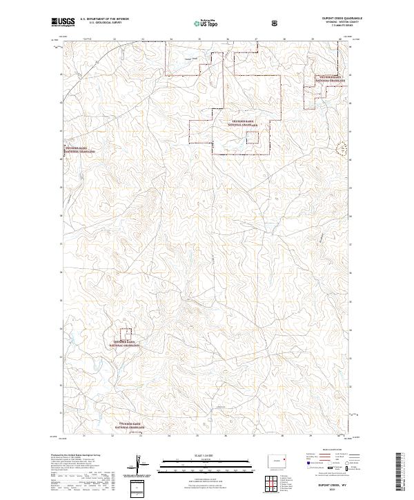
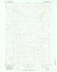
2021 Map of Dupont Creek
USGS Topo · Published 2021About this map
Thunder Basin National Grassland dominates this section of Weston County, where the high plains are carved by a network of seasonal drainages and creek beds. This modern topographic study reveals a landscape shaped by hydrology and grazing, with Dupont Cr and Louse Cr threading through the central sections. The terrain is further defined by several prominent erosional features, including Statler Draw in the north and Finn Draw to the east. Transportation in this corner of the grassland is limited to established routes like Grieves Rd and Elliott Rd, which navigate the subtle ridges between the Lodgepole Cr and S Fork Lone Tree Cr watersheds. For researchers, the map provides precise section and township lines, such as t43n r64w, essential for tracing historical land claims and grazing allotments.
Find a feature on this map
17 named features on this map. Tap any name to fly to it.
Don’t see what you’re looking for? This feature index may not catch every label — zoom into the map to look around manually.
Map Details
Editions of this 2021 Dupont Creek Map
This is the sole edition of this map. No revisions or reprints were ever made.
Other maps of this area

1899 · Newcastle
USGS Topo · 1:125,000

1901 · Newcastle
USGS Topo · 1:125,000

1955 · Newcastle
USGS Topo · 1:250,000

1958 · Newcastle
USGS Topo · 1:250,000
1972 · Klodt Reservoir
USGS Topo · 1:24,000

1979 · Newcastle
USGS Topo · 1:100,000
1982 · Morrisey
USGS Topo · 1:24,000

1982 · Clareton
USGS Topo · 1:24,000
1982 · The Nose East
USGS Topo · 1:24,000
1982 · Timber Creek
USGS Topo · 1:24,000