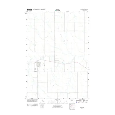
2012 Map of Dupree
USGS Topo · Published 2012About this map
Dupree serves as the focal point of this Ziebach County landscape, situated where the high plains are dissected by the drainage of Elm Cr and Pretty Cr. The town's grid is clearly defined, with streets like Main St and Dakota St framing the central community area near the local Po. This 2012 survey illustrates the relationship between the small residential core and the surrounding agricultural expanse, which is supported by vital water infrastructure such as Oliver Dam to the south. To the west of the town center, the Dupree Municipal Airport and thoroughfares like Cherry Creek Rd indicate the regional importance of transportation and connectivity in this rural South Dakota environment.
Find a feature on this map
15 named features on this map. Tap any name to fly to it.
Don’t see what you’re looking for? This feature index may not catch every label — zoom into the map to look around manually.
Map Details
Editions of this 2012 Dupree Map
This is the sole edition of this map. No revisions or reprints were ever made.
Other maps of this area

1951 · Dupree NE
USGS Topo · 1:24,000

1951 · Thunder Butte
USGS Topo · 1:24,000

1952 · Lantry NW
USGS Topo · 1:24,000

1953 · McIntosh
USGS Topo · 1:250,000

1954 · Pierre
USGS Topo · 1:250,000

1958 · Pierre
USGS Topo · 1:250,000

1958 · McIntosh
USGS Topo · 1:250,000

1979 · Dupree
USGS Topo · 1:25,000

1981 · Lantry
USGS Topo · 1:24,000

1981 · High Elk Hill NW
USGS Topo · 1:24,000