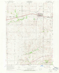
1953 Map of Durant
USGS Topo · Published 1971About this map
Durant stands as the primary hub on this mid-century landscape, positioned at the convergence of the Chicago Rock Island and Pacific railroad and major county boundaries. The map illustrates a rural society defined by its township structure, spanning sections of Farmington, Cleona, and Wilton. A significant network of rural education is visible, with numerous local institutions such as Prospect Hill School, Sunnyside School, and Crab Apple School serving the surrounding agricultural community.
Find a feature on this map
27 named features on this map. Tap any name to fly to it.
Don’t see what you’re looking for? This feature index may not catch every label — zoom into the map to look around manually.
Map Details
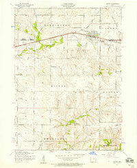
Editions of this 1953 Durant Map
2 editions found
Other maps of this area

1890 · Durant
USGS Topo · 1:62,500

1891 · Wilton Junction
USGS Topo · 1:62,500

1894 · Durant
USGS Topo · 1:62,500

1901 · Rock Island
USGS Topo · 1:125,000

1901 · Stanwood
USGS Topo · 1:125,000

1910 · Rock Island
USGS Topo · 1:125,000

1916 · Edgington
USGS Topo · 1:62,500

1938 · Edgington
USGS Topo · 1:62,500

1948 · Muscatine
USGS Topo · 1:62,500

1953 · Wilton Junction
USGS Topo · 1:24,000