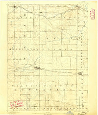
1890 Map of Durant
USGS Topo · Published 1890About this map
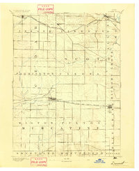
The agrarian landscape of eastern Iowa is captured here during the late 19th century, characterized by a meticulous grid of townships including Cleona, Fulton, and Hickory Grove. The Chicago Rock Island and Pacific Railroad serves as the primary east-west corridor, anchoring the growth of Durant and Walcott. Further north, the Burlington Cedar Rapids and Northern Railroad passes through Bennett and New Liberty.
Find a feature on this map
32 named features on this map. Tap any name to fly to it.
Don’t see what you’re looking for? This feature index may not catch every label — zoom into the map to look around manually.
Map Details
Editions of this 1890 Durant Map
This is the sole edition of this map. No revisions or reprints were ever made.
Other maps of this area
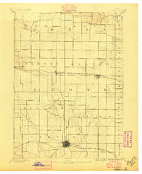
1889 · Tipton
USGS Topo · 1:62,500
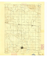
1890 · Tipton
USGS Topo · 1:62,500
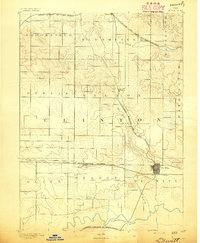
1891 · DeWitt
USGS Topo · 1:62,500
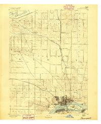
1891 · Davenport
USGS Topo · 1:62,500
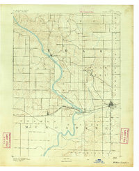
1891 · Wilton Junction
USGS Topo · 1:62,500
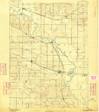
1892 · Wheatland
USGS Topo · 1:62,500
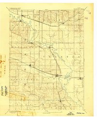
1894 · Wheatland
USGS Topo · 1:62,500
1894 · Durant
USGS Topo · 1:62,500
1894 · Davenport
USGS Topo · 1:62,500
1901 · Rock Island
USGS Topo · 1:125,000