Loading...
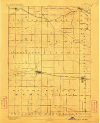
Loading map...1894 Map of Durant
USGS Topo · Published 1910About this map
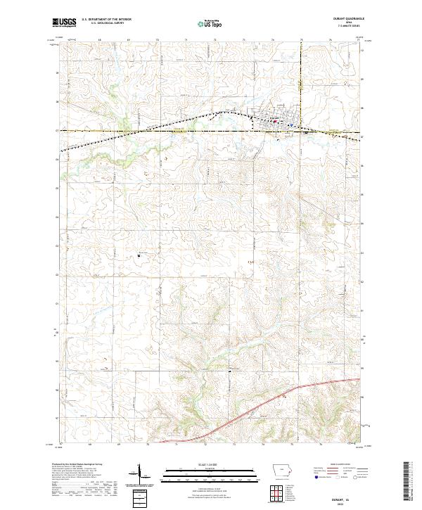
The agrarian landscape of eastern Iowa is defined here by the convergence of the Chicago Rock Island and Pacific Railroad and the Burlington Cedar Rapids and Northern Railroad. Surveyed just before the close of the nineteenth century, the map reveals a pattern of development dictated by these steel rails, which supported rail-side hubs like Durant, Bennett, and Walcott. Away from the main lines, the network of rural life is visible in smaller settlements and post offices such as Round Grove P.O., Plain View, and Pleasant Prairie.
Find a feature on this map
33 named features on this map. Tap any name to fly to it.
Don’t see what you’re looking for? This feature index may not catch every label — zoom into the map to look around manually.
Map Details
Date Portrayed1894
Date Published1910
PublisherU.S. Geological Survey
Map TypeTopographic
Scale1:62,500
Physical Dimensions16 x 19.5 inches
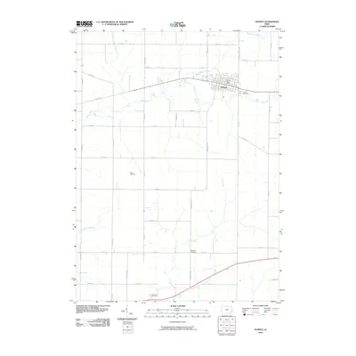
Editions of this 1894 Durant Map
2 editions found

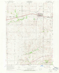
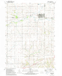
Historical Maps of Durant Through Time
9 maps found

Featured Locations
Source Details
SourceU.S. Geological Survey
CopyrightPublic Domain