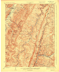
1924 Map of Durbin
USGS Topo · Published 1924About this map
Durbin stands as a vital rail junction where the Chesapeake and Ohio R R meets the Western Maryland R R, serving as the industrial heart of the Greenbank district. This early 1920s survey illustrates a landscape defined by its high-altitude ridges and narrow river valleys, where the Staunton and Parkersburg Pike crosses the treacherous Back Allegheny Mountain. The settlement pattern follows the waterways, with small communities like Huttonsville and Mill Creek established along the Tygart River. Education was clearly a priority for these remote timber and farming outposts, as evidenced by a dense network of country schools including the Donley Run School, Swecker Ridge School, and Cherry Grove School. The presence of the Burner Settlement and Nottingham P O Boyer Sta highlights the localized nature of commerce and mail delivery in the rugged Allegheny highlands before modern highway expansion.
Find a feature on this map
85 named features on this map. Tap any name to fly to it.
Don’t see what you’re looking for? This feature index may not catch every label — zoom into the map to look around manually.
Map Details
Editions of this 1924 Durbin Map
4 editions found

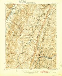
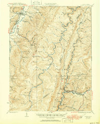
Other maps of this area

1889 · Beverly
USGS Topo · 1:125,000

1891 · Huntersville
USGS Topo · 1:125,000

1892 · Beverly
USGS Topo · 1:125,000

1893 · Buckhannon
USGS Topo · 1:125,000

1894 · Huntersville
USGS Topo · 1:125,000

1896 · Buckhannon
USGS Topo · 1:125,000

1897 · Buckhannon
USGS Topo · 1:125,000

1901 · Monterey
USGS Topo · 1:125,000

1909 · Elkins
USGS Topo · 1:62,500

1912 · Sago
USGS Topo · 1:48,000