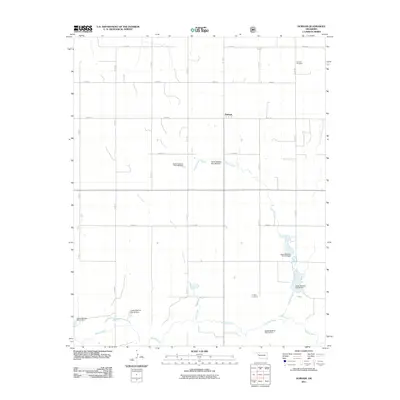
2011 Map of Durham
USGS Topo · Published 2011About this map
The Washita River snakes through the southern reaches of this Roger Mills County landscape, defining a terrain dominated by flood control infrastructure and agricultural section lines. This 2011 survey illustrates a sophisticated network of water management features, including the Upper Washita Site 39 Dam and Upper Washita Site 40 Dam, which harness tributaries like Turkey Creek and Trunk Creek. These modern engineering works stand alongside the older social foundations of the community, such as the small settlement of Durham and the well-preserved Fairview Cemetery. The map captures a transition where traditional Oklahoma prairie life meets late-20th-century conservation efforts, providing a clear record of land use and family landmarks like Lindley Cemetery in an era of managed water resources.
Find a feature on this map
26 named features on this map. Tap any name to fly to it.
Don’t see what you’re looking for? This feature index may not catch every label — zoom into the map to look around manually.
Map Details
Editions of this 2011 Durham Map
This is the sole edition of this map. No revisions or reprints were ever made.
Other maps of this area

1954 · Amarillo
USGS Topo · 1:250,000

1955 · Clinton
USGS Topo · 1:250,000

1957 · Clinton
USGS Topo · 1:250,000

1958 · Amarillo
USGS Topo · 1:250,000

1961 · Reydon
USGS Topo · 1:62,500

1965 · Crawford
USGS Topo · 1:24,000

1966 · Antelope Hills NE
USGS Topo · 1:24,000

1966 · Antelope Hills
USGS Topo · 1:24,000

1966 · Durham
USGS Topo · 1:24,000

1967 · Gem
USGS Topo · 1:24,000