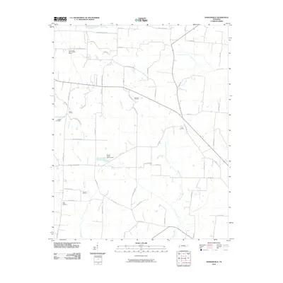
2010 Map of Durhamville
USGS Topo · Published 2010About this map
Spring Hill Cemetery and Trinity Cemetery anchor this rural Tennessee landscape, which is defined by a dense network of local roads and creek drainage systems. The map details the hydrology of the region, including Lagoon Creek and the southern reaches of Cane Creek, where engineering is evident at Cane Creek Dam Number Fifteen. Several smaller bodies of water, such as Doctor Robert Anthony Lake and Doris Irvin Lake, appear alongside family-named landmarks like Sonnys Cove.
Find a feature on this map
56 named features on this map. Tap any name to fly to it.
Don’t see what you’re looking for? This feature index may not catch every label — zoom into the map to look around manually.
Map Details
Editions of this 2010 Durhamville Map
This is the sole edition of this map. No revisions or reprints were ever made.
Other maps of this area

1939 · Hales Point
USGS Topo · 1:62,500

1939 · Halls
USGS Topo · 1:62,500

1950 · Brownsville
USGS Topo · 1:24,000

1951 · Brownsville
USGS Topo · 1:24,000

1952 · Hales Point
USGS Topo · 1:62,500

1952 · Gates
USGS Topo · 1:24,000

1952 · Chestnut Bluff
USGS Topo · 1:24,000

1956 · Blytheville
USGS Topo · 1:250,000

1959 · Blytheville
USGS Topo · 1:250,000

1961 · Hales Point
USGS Topo · 1:62,500