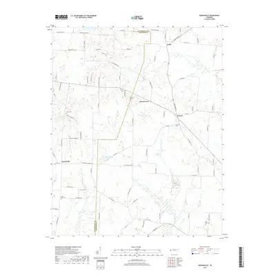
2019 Map of Durhamville
USGS Topo · Published 2019About this map
Durhamville and the crossroads of Nutbush anchor this modern topographical study of western Tennessee, where the border of Lauderdale and Haywood counties bisects a landscape of drainage creeks and rural agricultural networks. The terrain is defined by the winding paths of Lagoon Creek, Pond Creek, and Camp Creek, which create a series of low ridges and valleys that have historically dictated the placement of small settlements and family cemeteries. Genealogy researchers will find significant value in the distribution of local burial sites, including Trinity Cem, Spring Hill Cem, and Saint Pauls Cem. The map reveals a transition from these early community markers to modern landmarks like Doctor Robert Anthony Lake, illustrating the evolving water management and land use within these West Tennessee townships.
Find a feature on this map
77 named features on this map. Tap any name to fly to it.
Don’t see what you’re looking for? This feature index may not catch every label — zoom into the map to look around manually.
Map Details
Editions of this 2019 Durhamville Map
This is the sole edition of this map. No revisions or reprints were ever made.
Other maps of this area

1939 · Hales Point
USGS Topo · 1:62,500

1939 · Halls
USGS Topo · 1:62,500

1950 · Brownsville
USGS Topo · 1:24,000

1951 · Brownsville
USGS Topo · 1:24,000

1952 · Hales Point
USGS Topo · 1:62,500

1952 · Gates
USGS Topo · 1:24,000

1952 · Chestnut Bluff
USGS Topo · 1:24,000

1956 · Blytheville
USGS Topo · 1:250,000

1959 · Blytheville
USGS Topo · 1:250,000

1961 · Hales Point
USGS Topo · 1:62,500