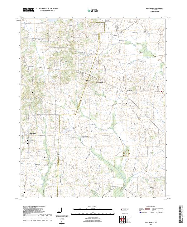
2022 Map of Durhamville
USGS Topo · Published 2022About this map
Durhamville and the surrounding farmland of West Tennessee are defined by a complex network of small creeks and family-centered landmarks. This landscape is historically anchored by its religious and social centers, such as the Saint Luke Baptist Church and Elam Methodist Episcopal Church. The drainage patterns of Pond Cr and Lagoon Cr dictate the placement of roads and homesteads, creating a rural layout that has persisted through generations.
Find a feature on this map
83 named features on this map. Tap any name to fly to it.
Don’t see what you’re looking for? This feature index may not catch every label — zoom into the map to look around manually.
Map Details
Editions of this 2022 Durhamville Map
This is the sole edition of this map. No revisions or reprints were ever made.
Other maps of this area

1939 · Hales Point
USGS Topo · 1:62,500

1939 · Halls
USGS Topo · 1:62,500

1950 · Brownsville
USGS Topo · 1:24,000

1951 · Brownsville
USGS Topo · 1:24,000

1952 · Hales Point
USGS Topo · 1:62,500

1952 · Gates
USGS Topo · 1:24,000

1952 · Chestnut Bluff
USGS Topo · 1:24,000

1956 · Blytheville
USGS Topo · 1:250,000

1959 · Blytheville
USGS Topo · 1:250,000

1961 · Hales Point
USGS Topo · 1:62,500