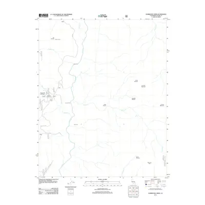
2012 Map of Durrwood Creek
USGS Topo · Published 2012About this map
The Kern River cuts a prominent north-south path through this pocket of the southern Sierra Nevada, serving as the central drainage for high-altitude landmarks. Surrounding this waterway are established backcountry outposts including Needle Camp, Durrwood Camp, and Bean Camp, which highlight the area's history as a destination for forest navigation and recreation. To the west, the distinctive formation known as The Needles rises near the Needles Lookout, while the southern reaches are anchored by the prominence of Sherman Peak and North Meadow.
Find a feature on this map
42 named features on this map. Tap any name to fly to it.
Don’t see what you’re looking for? This feature index may not catch every label — zoom into the map to look around manually.
Map Details
Editions of this 2012 Durrwood Creek Map
This is the sole edition of this map. No revisions or reprints were ever made.
Other maps of this area

1904 · Kaweah
USGS Topo · 1:125,000

1905 · Olancha
USGS Topo · 1:125,000

1905 · Fairview
USGS Topo · 1:24,000

1906 · Kernville
USGS Topo · 1:125,000

1907 · Olancha
USGS Topo · 1:125,000

1908 · Kernville
USGS Topo · 1:125,000

1909 · Kaweah
USGS Topo · 1:125,000

1918 · Fairview
USGS Topo · 1:31,680

1936 · Tobias Peak
USGS Topo · 1:125,000

1937 · Kaweah
USGS Topo · 1:125,000