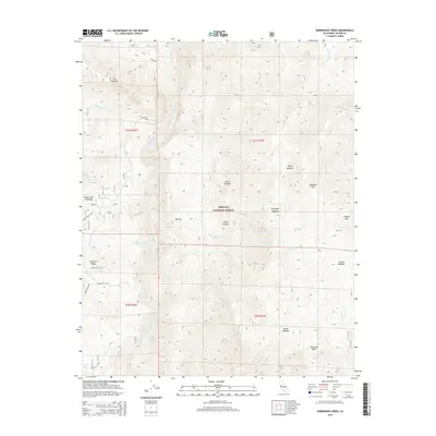
2015 Map of Durrwood Creek
USGS Topo · Published 2015About this map
The Kern River carves through the heart of the Sierra Nevada in this section of the Sequoia National Forest. The landscape is defined by its dramatic elevation changes and a series of high-altitude clearings, including Stony Meadow, Corral Meadow, and North Meadow. Prominent summits like Sherman Peak and Lookout Mtn overlook the deep incision of Cedar Canyon, while the granite formations of The Needles stand as distinct landmarks in the northern reaches.
Find a feature on this map
33 named features on this map. Tap any name to fly to it.
Don’t see what you’re looking for? This feature index may not catch every label — zoom into the map to look around manually.
Map Details
Editions of this 2015 Durrwood Creek Map
This is the sole edition of this map. No revisions or reprints were ever made.
Other maps of this area

1904 · Kaweah
USGS Topo · 1:125,000

1905 · Olancha
USGS Topo · 1:125,000

1905 · Fairview
USGS Topo · 1:24,000

1906 · Kernville
USGS Topo · 1:125,000

1907 · Olancha
USGS Topo · 1:125,000

1908 · Kernville
USGS Topo · 1:125,000

1909 · Kaweah
USGS Topo · 1:125,000

1918 · Fairview
USGS Topo · 1:31,680

1936 · Tobias Peak
USGS Topo · 1:125,000

1937 · Kaweah
USGS Topo · 1:125,000