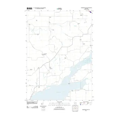
2010 Map of Durwards Glen
USGS Topo · Published 2010About this map
Lake Wisconsin and the Wisconsin River dominate the southern and eastern stretches of this Columbia County landscape, where the water's edge meets a complex interior of ravines and bluffs. The namesake Durwards Glen sits near the center of the sheet, surrounded by a high density of small family and denominational burial grounds, including the Saint Camillus Novitiate Cemetery, Indian Farm Cemetery, and Caledonia Cemetery. These sites, along with the American Ukranian Camp, suggest a deeply rooted community history tied to specific cultural and religious groups.
Find a feature on this map
71 named features on this map. Tap any name to fly to it.
Don’t see what you’re looking for? This feature index may not catch every label — zoom into the map to look around manually.
Map Details
Editions of this 2010 Durwards Glen Map
This is the sole edition of this map. No revisions or reprints were ever made.
Other maps of this area

1895 · Baraboo
USGS Topo · 1:62,500

1901 · Poynette
USGS Topo · 1:62,500

1902 · Portage
USGS Topo · 1:62,500

1902 · Briggsville
USGS Topo · 1:62,500

1908 · Baraboo
USGS Topo · 1:62,500

1957 · Madison
USGS Topo · 1:250,000

1958 · Briggsville
USGS Topo · 1:62,500

1959 · Baraboo
USGS Topo · 1:62,500

1960 · Madison
USGS Topo · 1:250,000

1962 · Poynette
USGS Topo · 1:62,500