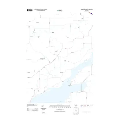
2013 Map of Durwards Glen
USGS Topo · Published 2013About this map
Lake Wisconsin and the sweeping bend of the Wisconsin River dominate the southern landscape of this Columbia County quadrangle. The terrain is defined by a series of named hollows and bluffs, including Dog Hollow, Cat Hollow, and the prominent Pine Bluff. In the center of the sheet, the settlement of Durwards Glen sits near the winding Prentice Cr, while to the north, the American Ukranian Camp indicates the area's mid-century cultural history. The map preserves several family-named landmarks and infrastructure, such as Townhall Hill, Petras Ravine, and Tipperary Point on the riverbank. Recreation and topography intersect at Cascade Mtn and the Devils Head Golf Course, illustrating the transition of this river valley into a modern outdoor destination.
Find a feature on this map
64 named features on this map. Tap any name to fly to it.
Don’t see what you’re looking for? This feature index may not catch every label — zoom into the map to look around manually.
Map Details
Editions of this 2013 Durwards Glen Map
This is the sole edition of this map. No revisions or reprints were ever made.
Other maps of this area

1895 · Baraboo
USGS Topo · 1:62,500

1901 · Poynette
USGS Topo · 1:62,500

1902 · Portage
USGS Topo · 1:62,500

1902 · Briggsville
USGS Topo · 1:62,500

1908 · Baraboo
USGS Topo · 1:62,500

1957 · Madison
USGS Topo · 1:250,000

1958 · Briggsville
USGS Topo · 1:62,500

1959 · Baraboo
USGS Topo · 1:62,500

1960 · Madison
USGS Topo · 1:250,000

1962 · Poynette
USGS Topo · 1:62,500