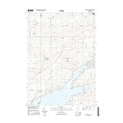
2016 Map of Durwards Glen
USGS Topo · Published 2016About this map
Lake Wisconsin and the Wisconsin River dominate the southern half of this landscape, where the waters widen into Whalen Bay and Stoners Bay. The terrain to the north is defined by a series of significant ridges and ravines, including the South Range and North Range, which rise above valley features like Dog Hollow and Cat Hollow. This topography creates a secluded setting for Durwards Glen, a site of spiritual and historical interest nestled near Petras Ravine.
Find a feature on this map
85 named features on this map. Tap any name to fly to it.
Don’t see what you’re looking for? This feature index may not catch every label — zoom into the map to look around manually.
Map Details
Editions of this 2016 Durwards Glen Map
This is the sole edition of this map. No revisions or reprints were ever made.
Other maps of this area

1895 · Baraboo
USGS Topo · 1:62,500

1901 · Poynette
USGS Topo · 1:62,500

1902 · Portage
USGS Topo · 1:62,500

1902 · Briggsville
USGS Topo · 1:62,500

1908 · Baraboo
USGS Topo · 1:62,500

1957 · Madison
USGS Topo · 1:250,000

1958 · Briggsville
USGS Topo · 1:62,500

1959 · Baraboo
USGS Topo · 1:62,500

1960 · Madison
USGS Topo · 1:250,000

1962 · Poynette
USGS Topo · 1:62,500