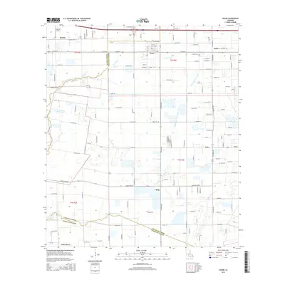
2015 Map of Duson
USGS Topo · Published 2015About this map
Rayne and Duson anchor this 2015 study of the Louisiana prairies where Acadia and Lafayette parishes meet. The landscape is defined by the winding course of the Bayou Queue De Tortue, which forms a significant natural boundary across the southern portion of the quadrangle. Agricultural patterns dominate the terrain, interspersed with local landmarks like Phoenix Airport and the smaller settlements of Judice, Ridge, and Sadou. Cultural history is preserved at sites such as Anderson Cem and Bethel Cem, which sit among a dense network of country roads including Quarter Pole Rd and Toby Mouton Rd. The map illustrates the contemporary expansion of these Acadiana communities while maintaining the traditional drainage patterns established by Indian Bayou.
Find a feature on this map
98 named features on this map. Tap any name to fly to it.
Don’t see what you’re looking for? This feature index may not catch every label — zoom into the map to look around manually.
Map Details
Editions of this 2015 Duson Map
This is the sole edition of this map. No revisions or reprints were ever made.
Other maps of this area

1934 · Duson
USGS Topo · 1:31,680

1935 · Branch
USGS Topo · 1:31,680

1946 · Milton
USGS Topo · 1:31,680

1946 · Leroy
USGS Topo · 1:31,680

1946 · Lafayette
USGS Topo · 1:31,680

1946 · Kaplan
USGS Topo · 1:31,680

1946 · Rayne
USGS Topo · 1:31,680

1947 · Branch
USGS Topo · 1:31,680

1952 · Lake Charles
USGS Topo · 1:250,000

1954 · Lafayette
USGS Topo · 1:31,680