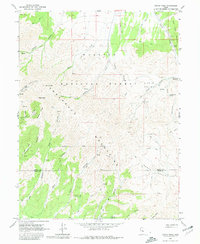
1963 Map of Dutch Peak
USGS Topo · Published 1980About this map
The Sheeprock Mountains dominate this 1963 survey, revealing a landscape defined by mining activity and natural water sources within the Wasatch National Forest. Multiple mines and prospects are scattered across the high ridges, particularly near Dutch Peak and the southern slopes of Lion Hill. This network of mineral extraction is supported by a series of primitive transport routes, including numerous named jeep trails that navigate complex terrain through Harker Canyon and Hard to Beat Canyon.
Find a feature on this map
40 named features on this map. Tap any name to fly to it.
Don’t see what you’re looking for? This feature index may not catch every label — zoom into the map to look around manually.
Map Details
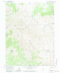
Editions of this 1963 Dutch Peak Map
3 editions found
Other maps of this area

1885 · Sevier Desert
USGS Topo · 1:250,000

1885 · Tooele Valley
USGS Topo · 1:250,000

1953 · Tooele
USGS Topo · 1:250,000

1953 · Delta
USGS Topo · 1:250,000

1955 · Tooele
USGS Topo · 1:250,000

1958 · Delta
USGS Topo · 1:250,000

1962 · Delta
USGS Topo · 1:250,000

1963 · Maple Peak
USGS Topo · 1:24,000
1963 · Sabie Mountain
USGS Topo · 1:24,000

1963 · Dutch Peak
USGS Topo · 1:24,000