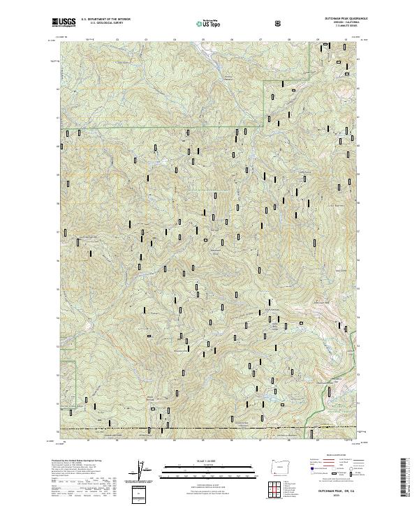
2023 Map of Dutchman Peak
USGS Topo · Published 2023About this map
The Rogue River National Forest and Klamath National Forest converge on this high-altitude landscape along the Oregon-California border. This terrain is defined by a dense network of gulches and ridges, where the Pacific Crest National Scenic Trl traverses the crest near Dutchman Peak and Observation Peak. The map illustrates the specialized vocabulary of the high Cascades, featuring numerous "glades" such as Sally Glade, Kettle Belly Glade, and Quaken Asp Glade, which typically signify open meadows within the heavy timber. Named points like Deadmans Point and Teel Gap mark the difficult passage between drainages like Yale Creek and the Silver Fork. This modern survey records the enduring boundary between Jackson and Siskiyou Counties, preserving the remote character of the Siskiyou Mountains.
Find a feature on this map
67 named features on this map. Tap any name to fly to it.
Don’t see what you’re looking for? This feature index may not catch every label — zoom into the map to look around manually.
Map Details
Editions of this 2023 Dutchman Peak Map
2 editions found
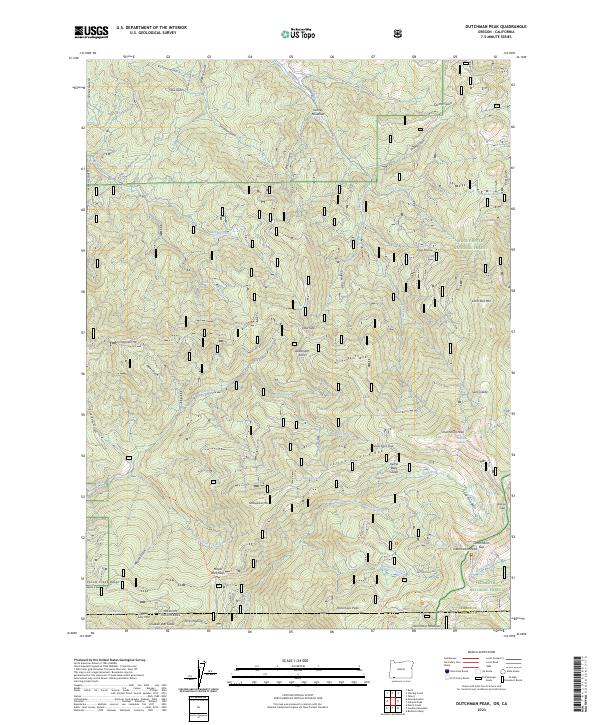
Other maps of this area

1886 · Shasta
USGS Topo · 1:250,000

1891 · Ashland
USGS Topo · 1:250,000

1893 · Ashland
USGS Topo · 1:250,000

1894 · Shasta
USGS Topo · 1:250,000

1897 · Ashland
USGS Topo · 1:250,000

1908 · Grants Pass
USGS Topo · 1:125,000

1914 · Seiad
USGS Topo · 1:125,000

1922 · Seiad
USGS Topo · 1:125,000

1932 · Yreka
USGS Topo · 1:96,000

1938 · Medford
USGS Topo · 1:125,000