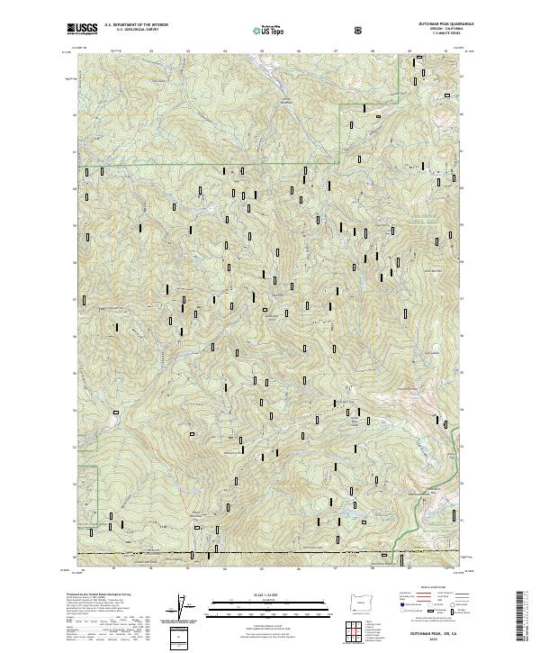
2023 Map of Dutchman Peak
USGS Topo · Published 2023About this map
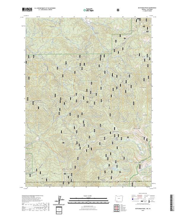
Dutchman Peak and the surrounding high country of the Rogue River National Forest and Klamath National Forest anchor this survey of the Oregon-California border. The landscape is defined by its complex drainage systems, where headwaters like Beaver Creek and Silver Fork carve deep through the terrain. A network of high-elevation meadows and glades, including Kenney Meadows, Sally Glade, and Kettle Belly Glade, suggests a history of seasonal grazing and forest management. The presence of the Pacific Crest National Scenic Trl crossing through Observation Gap and near Donomore Peak highlights the area's role as a critical corridor for backcountry travel. Notable landmarks such as Deadmans Point and Acorn Woman Mtn provide essential orientation points for understanding the topographical relationship between the Yellowjacket Ridge and the Silver Fork Basin at the state line.
Find a feature on this map
72 named features on this map. Tap any name to fly to it.
Don’t see what you’re looking for? This feature index may not catch every label — zoom into the map to look around manually.
Map Details
Editions of this 2023 Dutchman Peak Map
2 editions found
Other maps of this area

1886 · Shasta
USGS Topo · 1:250,000

1891 · Ashland
USGS Topo · 1:250,000

1893 · Ashland
USGS Topo · 1:250,000

1894 · Shasta
USGS Topo · 1:250,000

1897 · Ashland
USGS Topo · 1:250,000

1908 · Grants Pass
USGS Topo · 1:125,000

1914 · Seiad
USGS Topo · 1:125,000

1922 · Seiad
USGS Topo · 1:125,000

1932 · Yreka
USGS Topo · 1:96,000

1938 · Medford
USGS Topo · 1:125,000