
1980 Map of Dutchmans Hill
USGS Topo · Published 1980About this map
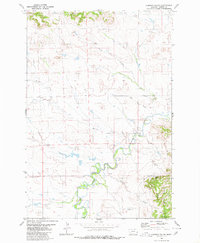
Dutchmans Hill and its surrounding drainage systems define this landscape along the border of Fallon and Carter Counties. The map, based on 1970s aerial photography and field checking, documents a rural ranching environment characterized by an extensive network of water sources, including Reynolds Spring, Hagen Creek, and numerous unnamed Springs and Wells. The presence of an Ice Cave and a Drill Hole suggests a land shaped by both natural geological curiosities and resource exploration. The drainage patterns of Greasewood Creek, Horse Creek, and Coal Creek reveal the complex topography of this southeastern Montana region during a period of steady land use. This survey provides a clear view of the territorial markings and natural hydrology that local landowners and historians use to trace property lines and geographic changes.
Find a feature on this map
17 named features on this map. Tap any name to fly to it.
Don’t see what you’re looking for? This feature index may not catch every label — zoom into the map to look around manually.
Map Details
Editions of this 1980 Dutchmans Hill Map
This is the sole edition of this map. No revisions or reprints were ever made.
Other maps of this area

1953 · Miles City
USGS Topo · 1:250,000

1954 · Ekalaka
USGS Topo · 1:250,000

1956 · Ekalaka
USGS Topo · 1:250,000

1957 · Miles City
USGS Topo · 1:250,000

1958 · Miles City
USGS Topo · 1:250,000

1958 · Ekalaka
USGS Topo · 1:250,000

1965 · Ekalaka
USGS Topo · 1:250,000

1980 · Camp Needmore
USGS Topo · 1:24,000
1980 · Lampkin Gulch
USGS Topo · 1:24,000
1980 · Mill Iron
USGS Topo · 1:24,000