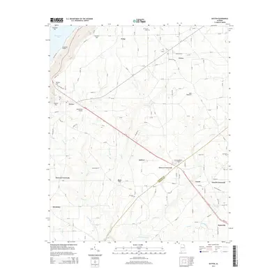
2014 Map of Dutton
USGS Topo · Published 2014About this map
Sand Mountain dominates the eastern half of this Jackson and DeKalb County landscape, where the plateau surface is marked by a network of rural communities such as Dutton, Powell, and Rainsville. This 2014 survey documents the dense corridor of activity along AL-35, connecting the Northeast Alabama Community Coll at Duncan Crossroads to the ridge-top settlements. The topography breaks sharply to the northwest at Ferncliff Gap and Section Gap, dropping toward the waters of Guntersville Lake.
Find a feature on this map
140 named features on this map. Tap any name to fly to it.
Don’t see what you’re looking for? This feature index may not catch every label — zoom into the map to look around manually.
Map Details
Editions of this 2014 Dutton Map
This is the sole edition of this map. No revisions or reprints were ever made.
Other maps of this area

1885 · Gadsden
USGS Topo · 1:125,000

1886 · Stevenson
USGS Topo · 1:125,000

1888 · Gadsden
USGS Topo · 1:125,000

1888 · Scottsboro
USGS Topo · 1:125,000

1892 · Scottsboro
USGS Topo · 1:125,000

1892 · Stevenson
USGS Topo · 1:125,000

1892 · Gadsden
USGS Topo · 1:125,000

1893 · Fort Payne
USGS Topo · 1:125,000

1895 · Stevenson
USGS Topo · 1:125,000

1895 · Gadsden
USGS Topo · 1:125,000