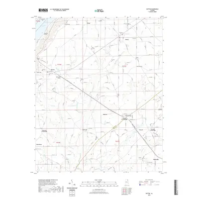
2020 Map of Dutton
USGS Topo · Published 2020About this map
Sand Mountain dominates the landscape of this plateau region, where agriculture and small rural settlements define the modern geography. The town of Dutton and nearby Hodge sit atop this elevated terrain, while the western edge of the map drops sharply toward Guntersville Lake through distinct topographic breaks like Section Gap and Ferncliff Gap. These gaps historically provided passage from the Tennessee River valley up onto the mountain's expansive summit.
Find a feature on this map
157 named features on this map. Tap any name to fly to it.
Don’t see what you’re looking for? This feature index may not catch every label — zoom into the map to look around manually.
Map Details
Editions of this 2020 Dutton Map
This is the sole edition of this map. No revisions or reprints were ever made.
Other maps of this area

1885 · Gadsden
USGS Topo · 1:125,000

1886 · Stevenson
USGS Topo · 1:125,000

1888 · Gadsden
USGS Topo · 1:125,000

1888 · Scottsboro
USGS Topo · 1:125,000

1892 · Scottsboro
USGS Topo · 1:125,000

1892 · Stevenson
USGS Topo · 1:125,000

1892 · Gadsden
USGS Topo · 1:125,000

1893 · Fort Payne
USGS Topo · 1:125,000

1895 · Stevenson
USGS Topo · 1:125,000

1895 · Gadsden
USGS Topo · 1:125,000