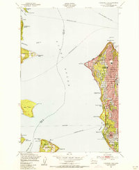
1949 Map of Duwamish Head
USGS Topo · Published 1956About this map
Puget Sound serves as the central artery for this late 1940s landscape, connecting the growing residential districts of West Seattle to the industrial and naval hubs across the water. The map documents a maritime-dependent era before modern bridge expansions, where a complex network of ferry lines like the Seattle-Winslow Ferry and the Fauntleroy-Vashon Ferry bridged the gaps between Bainbridge Island, Vashon Island, and the mainland.
Find a feature on this map
47 named features on this map. Tap any name to fly to it.
Don’t see what you’re looking for? This feature index may not catch every label — zoom into the map to look around manually.
Map Details
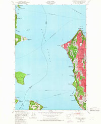
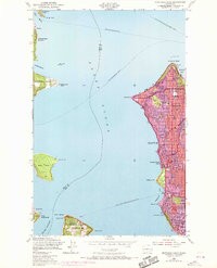
Editions of this 1949 Duwamish Head Map
3 editions found
Other maps of this area

1894 · Seattle
USGS Topo · 1:62,500

1895 · Snohomish
USGS Topo · 1:125,000

1897 · Tacoma
USGS Topo · 1:125,000

1897 · Seattle
USGS Topo · 1:125,000

1900 · Tacoma
USGS Topo · 1:125,000

1908 · Seattle
USGS Topo · 1:62,500

1909 · Seattle Special
USGS Topo · 1:62,500

1937 · Port Orchard
USGS Topo · 1:62,500

1942 · Gig Harbor
USGS Topo · 1:62,500

1943 · Gig Harbor
USGS Topo · 1:62,500