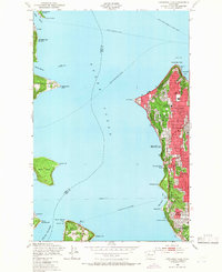
1949 Map of Duwamish Head
USGS Topo · Published 1966About this map
Puget Sound serves as the central corridor for a complex network of mid-century maritime transit, connecting the bustling neighborhoods of West Seattle and Seattle with the surrounding islands. The map documents an era when marine travel was the primary link for communities like Vashon Heights on Vashon Island and Creosote on Bainbridge Island. A series of established routes, including the Seattle-Winslow Ferry and the Fauntleroy-Vashon Ferry, crisscross the water, tying the residential growth at Arbor Heights and High Point to the broader regional economy.
Find a feature on this map
43 named features on this map. Tap any name to fly to it.
Don’t see what you’re looking for? This feature index may not catch every label — zoom into the map to look around manually.
Map Details
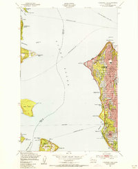
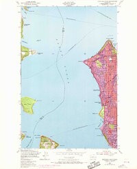
Editions of this 1949 Duwamish Head Map
3 editions found
Other maps of this area

1894 · Seattle
USGS Topo · 1:62,500

1895 · Snohomish
USGS Topo · 1:125,000

1897 · Tacoma
USGS Topo · 1:125,000

1897 · Seattle
USGS Topo · 1:125,000

1900 · Tacoma
USGS Topo · 1:125,000

1908 · Seattle
USGS Topo · 1:62,500

1909 · Seattle Special
USGS Topo · 1:62,500

1937 · Port Orchard
USGS Topo · 1:62,500

1942 · Gig Harbor
USGS Topo · 1:62,500

1943 · Gig Harbor
USGS Topo · 1:62,500