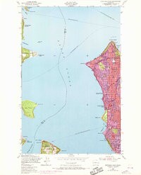
1949 Map of Duwamish Head
USGS Topo · Published 1969About this map
Puget Sound defines this mid-century landscape, acting as a bustling maritime corridor connecting Seattle to its island neighbors and the peninsula. The map captures a critical period of post-war growth, particularly in the residential developments of West Seattle, Arbor Heights, and High Point. These neighborhoods are documented with significant local detail, including neighborhood staples like the Lafayette Sch and West Seattle High Sch.
Find a feature on this map
46 named features on this map. Tap any name to fly to it.
Don’t see what you’re looking for? This feature index may not catch every label — zoom into the map to look around manually.
Map Details
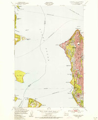
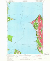
Editions of this 1949 Duwamish Head Map
3 editions found
Other maps of this area

1894 · Seattle
USGS Topo · 1:62,500

1895 · Snohomish
USGS Topo · 1:125,000

1897 · Tacoma
USGS Topo · 1:125,000

1897 · Seattle
USGS Topo · 1:125,000

1900 · Tacoma
USGS Topo · 1:125,000

1908 · Seattle
USGS Topo · 1:62,500

1909 · Seattle Special
USGS Topo · 1:62,500

1937 · Port Orchard
USGS Topo · 1:62,500

1942 · Gig Harbor
USGS Topo · 1:62,500

1943 · Gig Harbor
USGS Topo · 1:62,500