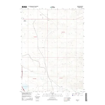
2015 Map of Dwyer
USGS Topo · Published 2015About this map
Dwyer Junction and the small settlement of Dwyer anchor this Platte County landscape, where transportation routes and water rights define the high plains geography. The terrain is marked by the course of the N Laramie River and its confluence with Fish Creek, creating a riparian corridor that contrasts with the surrounding agricultural land divisions. Of particular interest to local historians is the Dwyer Cem, situated north of the main junction, and the N Laramie Land Company Number 3 Reservoir, which highlights early 20th-century irrigation efforts in the region. Further south, the map captures the location of Uva near the banks of the Laramie River. The network of rural roads, including Pepper Rd and Dwyer Rd, follows the established section lines of the township and range system, illustrating the enduring footprint of Western land surveying.
Find a feature on this map
18 named features on this map. Tap any name to fly to it.
Don’t see what you’re looking for? This feature index may not catch every label — zoom into the map to look around manually.
Map Details
Editions of this 2015 Dwyer Map
This is the sole edition of this map. No revisions or reprints were ever made.
Other maps of this area
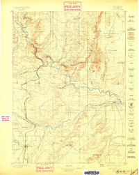
1896 · Hartville
USGS Topo · 1:125,000
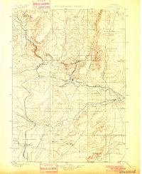
1901 · Hartville
USGS Topo · 1:125,000
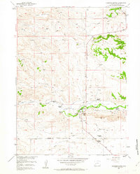
1950 · Coleman Butte
USGS Topo · 1:24,000
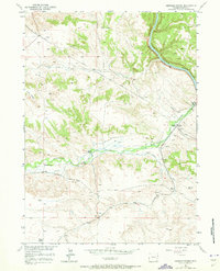
1950 · Herman Ranch
USGS Topo · 1:24,000
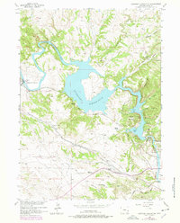
1950 · Guernsey Reservoir
USGS Topo · 1:24,000
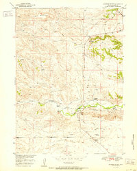
1951 · Coleman Butte
USGS Topo · 1:24,000
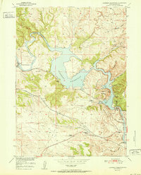
1951 · Guernsey Reservoir
USGS Topo · 1:24,000
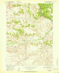
1951 · Herman Ranch
USGS Topo · 1:24,000
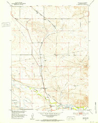
1951 · Dwyer
USGS Topo · 1:24,000
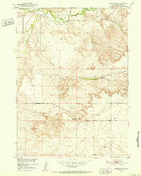
1951 · Antelope Gap
USGS Topo · 1:24,000