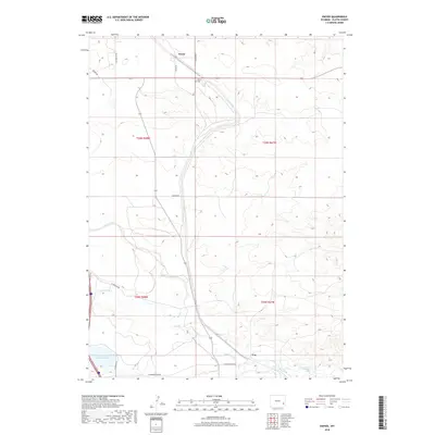
2018 Map of Dwyer
USGS Topo · Published 2018About this map
The small settlement of Dwyer serves as the focal point of this high plains landscape in Platte County, where the high desert meets the irrigated valleys of the Laramie River system. The northern part of the map is anchored by the community and the nearby Dwyer Cem, reflecting the early 20th-century ranching roots of the region. Water management is the defining human footprint here, evidenced by the presence of Reservoir Number Three and the engineered flow of the Uva Ditch to the south. These features, along with the N Laramie River and Fish Creek, illustrate the vital role of riparian corridors in Wyoming's agricultural economy. The road network, including E El Rancho Rd and N Dwyer Rd, follows the section lines of the Public Land Survey System, a testament to the structured settlement patterns of the American West.
Find a feature on this map
19 named features on this map. Tap any name to fly to it.
Don’t see what you’re looking for? This feature index may not catch every label — zoom into the map to look around manually.
Map Details
Editions of this 2018 Dwyer Map
This is the sole edition of this map. No revisions or reprints were ever made.
Other maps of this area
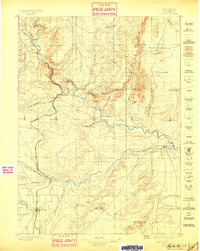
1896 · Hartville
USGS Topo · 1:125,000
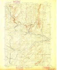
1901 · Hartville
USGS Topo · 1:125,000
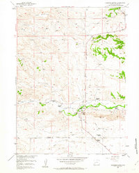
1950 · Coleman Butte
USGS Topo · 1:24,000
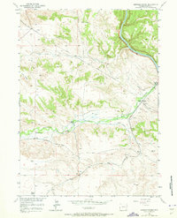
1950 · Herman Ranch
USGS Topo · 1:24,000
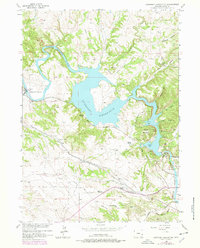
1950 · Guernsey Reservoir
USGS Topo · 1:24,000
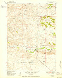
1951 · Coleman Butte
USGS Topo · 1:24,000
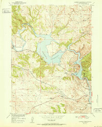
1951 · Guernsey Reservoir
USGS Topo · 1:24,000
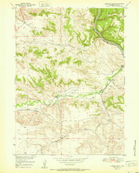
1951 · Herman Ranch
USGS Topo · 1:24,000
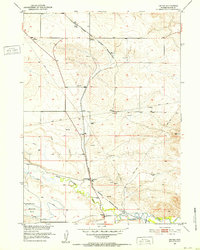
1951 · Dwyer
USGS Topo · 1:24,000
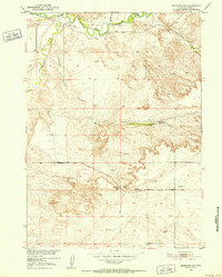
1951 · Antelope Gap
USGS Topo · 1:24,000