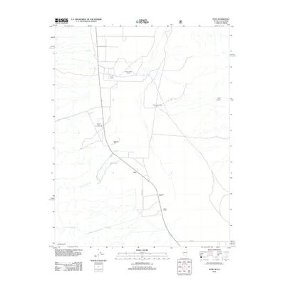
2012 Map of Dyer
USGS Topo · Published 2012About this map
Fish Lake Valley defines the settlement patterns of this arid Nevada landscape, where ranching operations are clustered along the base of the mountains to capture seasonal runoff. The small community of Dyer serves as the local hub, centered around its Po and the Fish Lake Valley Community Hall. This high-desert environment is characterized by several distinct family-held properties, including the Circle L Ranch with its private Circle L Ranch Airport, and the Bar Double 9 Ranch. Water sources are critical to these operations, with McAfee Cr, Perry Aiken Cr, and Leidy Cr emerging from the steep canyons like Piper Canyon to the east. The terrain rises sharply toward Red Mountain in the southwest, while a grid of local routes such as Purple Sage Rd and Westside Rd connects the scattered homesteads.
Find a feature on this map
21 named features on this map. Tap any name to fly to it.
Don’t see what you’re looking for? This feature index may not catch every label — zoom into the map to look around manually.
Map Details
Editions of this 2012 Dyer Map
This is the sole edition of this map. No revisions or reprints were ever made.
Other maps of this area

1898 · Silver Peak
USGS Topo · 1:125,000

1900 · Silver Peak
USGS Topo · 1:125,000

1908 · Lida
USGS Topo · 1:250,000

1913 · Lida
USGS Topo · 1:250,000

1917 · White Mountain
USGS Topo · 1:125,000

1947 · Mariposa
USGS Topo · 1:250,000

1948 · Mariposa
USGS Topo · 1:250,000

1954 · Goldfield
USGS Topo · 1:250,000

1955 · Goldfield
USGS Topo · 1:250,000

1957 · Mariposa
USGS Topo · 1:250,000