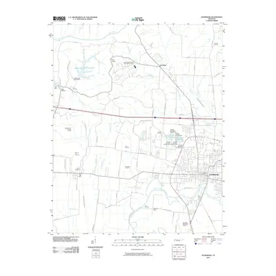
2010 Map of Dyersburg
USGS Topo · Published 2010About this map
Dyersburg serves as the focal point of this Northwest Tennessee landscape, situated along the North Fork Forked Deer River as it winds toward Samaria Bend. The map documents a territory defined by its complex drainage systems and water management, featuring numerous named ditches and dams, including the series of Pioneer Lake Number One through Five. In the northern reaches, the town of Friendship sits near Lewis Creek, surrounded by rural infrastructure that supports the local agricultural economy.
Find a feature on this map
73 named features on this map. Tap any name to fly to it.
Don’t see what you’re looking for? This feature index may not catch every label — zoom into the map to look around manually.
Map Details
Editions of this 2010 Dyersburg Map
This is the sole edition of this map. No revisions or reprints were ever made.
Other maps of this area

1939 · Dyersburg
USGS Topo · 1:62,500

1939 · Hales Point
USGS Topo · 1:62,500

1939 · Caruthersville
USGS Topo · 1:62,500

1939 · Halls
USGS Topo · 1:62,500

1951 · Caruthersville
USGS Topo · 1:62,500

1952 · Hales Point
USGS Topo · 1:62,500

1952 · Bonicord
USGS Topo · 1:24,000

1952 · Newbern
USGS Topo · 1:24,000

1952 · Lane
USGS Topo · 1:24,000

1952 · Dyersburg
USGS Topo · 1:24,000