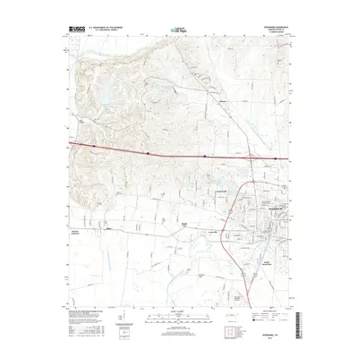
2016 Map of Dyersburg
USGS Topo · Published 2016About this map
The North Fork Forked Deer River winds through the southern landscape near the city center of Dyersburg, reflecting a region shaped by its proximity to both the river and the northern Obion River. This 2016 survey shows the modern footprint of settlements like Finley, Evansville, and Nauvoo, alongside contemporary landmarks such as the Dyersburg Regional Airport and Dyersburg State Community College. The map preserves the locations of numerous historic burial grounds, including Neely Chapel Cem and Peel Cem, which often represent the earliest established community centers in Dyer County. In the west, the Crockett Cr Drainage Ditch highlights the extensive hydrological management required for this fertile agricultural bottomland. From the residential streets of South Dyersburg to the small cluster at Big Boy Junction, the sheet provides a detailed accounting of the intersections and watercourses that define the local geography.
Find a feature on this map
127 named features on this map. Tap any name to fly to it.
Don’t see what you’re looking for? This feature index may not catch every label — zoom into the map to look around manually.
Map Details
Editions of this 2016 Dyersburg Map
This is the sole edition of this map. No revisions or reprints were ever made.
Other maps of this area

1939 · Dyersburg
USGS Topo · 1:62,500

1939 · Hales Point
USGS Topo · 1:62,500

1939 · Caruthersville
USGS Topo · 1:62,500

1939 · Halls
USGS Topo · 1:62,500

1951 · Caruthersville
USGS Topo · 1:62,500

1952 · Hales Point
USGS Topo · 1:62,500

1952 · Bonicord
USGS Topo · 1:24,000

1952 · Newbern
USGS Topo · 1:24,000

1952 · Lane
USGS Topo · 1:24,000

1952 · Dyersburg
USGS Topo · 1:24,000