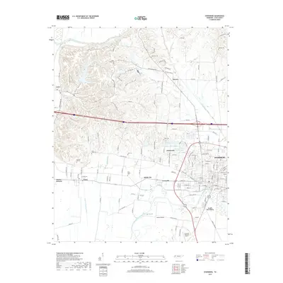
2019 Map of Dyersburg
USGS Topo · Published 2019About this map
The city of Dyersburg serves as a central hub in this Dyer County landscape, where the urban grid meets the winding waters of the North Fork Forked Deer River. This recent survey reveals a complex network of rural settlements like Finley, Lenox, and Nauvoo that maintain their distinct identities even as the regional infrastructure expands. The terrain is marked by the Chickasaw Bluff and the lowlands of Samaria Bend, showing the contrast between the elevated ridges and the river bottoms.
Find a feature on this map
138 named features on this map. Tap any name to fly to it.
Don’t see what you’re looking for? This feature index may not catch every label — zoom into the map to look around manually.
Map Details
Editions of this 2019 Dyersburg Map
This is the sole edition of this map. No revisions or reprints were ever made.
Other maps of this area

1939 · Dyersburg
USGS Topo · 1:62,500

1939 · Hales Point
USGS Topo · 1:62,500

1939 · Caruthersville
USGS Topo · 1:62,500

1939 · Halls
USGS Topo · 1:62,500

1951 · Caruthersville
USGS Topo · 1:62,500

1952 · Hales Point
USGS Topo · 1:62,500

1952 · Bonicord
USGS Topo · 1:24,000

1952 · Newbern
USGS Topo · 1:24,000

1952 · Lane
USGS Topo · 1:24,000

1952 · Dyersburg
USGS Topo · 1:24,000