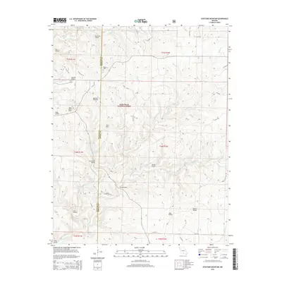
2015 Map of Dyestone Mountain
USGS Topo · Published 2015About this map
Mark Twain National Forest dominates this section of the Ozark Highlands, where the border of Douglas and Howell counties runs through a landscape of named knobs and deep hollows. The terrain is defined by its complex hydrology, featuring numerous natural water sources like Rockhouse Spring, Hellroaring Spring, and Carman Spring that feed into Noblett Cr and Spring Cr. These springs were vital to early settlement patterns in a region where surface water could be scarce among the ridges.
Find a feature on this map
55 named features on this map. Tap any name to fly to it.
Don’t see what you’re looking for? This feature index may not catch every label — zoom into the map to look around manually.
Map Details
Editions of this 2015 Dyestone Mountain Map
This is the sole edition of this map. No revisions or reprints were ever made.
Other maps of this area

1939 · Topaz
USGS Topo · 1:62,500

1941 · Topaz
USGS Topo · 1:62,500

1945 · Harrison
USGS Topo · 1:250,000

1945 · Willow Springs
USGS Topo · 1:62,500

1945 · Clear Springs
USGS Topo · 1:62,500

1948 · Clear Springs
USGS Topo · 1:62,500

1948 · Willow Springs
USGS Topo · 1:62,500

1949 · Harrison
USGS Topo · 1:250,000

1949 · Rolla
USGS Topo · 1:250,000

1950 · Cabool SW
USGS Topo · 1:24,000