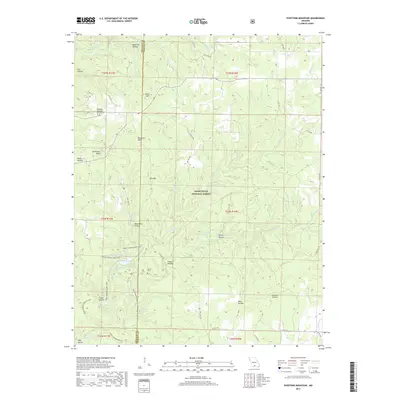
2017 Map of Dyestone Mountain
USGS Topo · Published 2017About this map
Mark Twain National Forest dominates the landscape of this 2017 study, where the boundary between Douglas and Howell counties winds through the Missouri Ozarks. The area is defined by its diverse hydrography, featuring numerous named springs and watercourses that drain the dissected plateau. Notable water sources include Rockhouse Spring, Carman Spring, and Galloway Spring, which feed into major drainages like Noblett Cr and Spring Cr. Central to the recreational and topographic character is Noblett Lake, surrounded by a network of paths such as the Ridge Runner-Short Loop.
Find a feature on this map
52 named features on this map. Tap any name to fly to it.
Don’t see what you’re looking for? This feature index may not catch every label — zoom into the map to look around manually.
Map Details
Editions of this 2017 Dyestone Mountain Map
This is the sole edition of this map. No revisions or reprints were ever made.
Other maps of this area

1939 · Topaz
USGS Topo · 1:62,500

1941 · Topaz
USGS Topo · 1:62,500

1945 · Harrison
USGS Topo · 1:250,000

1945 · Willow Springs
USGS Topo · 1:62,500

1945 · Clear Springs
USGS Topo · 1:62,500

1948 · Clear Springs
USGS Topo · 1:62,500

1948 · Willow Springs
USGS Topo · 1:62,500

1949 · Harrison
USGS Topo · 1:250,000

1949 · Rolla
USGS Topo · 1:250,000

1950 · Cabool SW
USGS Topo · 1:24,000