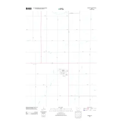
2013 Map of Dysart
USGS Topo · Published 2013About this map
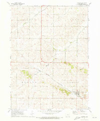
Dysart serves as the primary community hub in this region of Tama County, shown here as a grid of residential and commercial streets. The town's layout is centered around thoroughfares like Main St and Iowa St, with the Dysart Fairground located on the southeastern edge. This landscape is characterized by the structured intersection of agricultural section lines and an intricate drainage network. Waterways such as Wolf Cr in the north and E Br Salt Cr to the south create natural breaks in the repetitive township grid. The map captures the highly organized rural geography of Iowa in the early 21st century, where numbered roads like 160th St and 200th St facilitate movement between scattered farmsteads and the central township.
Find a feature on this map
38 named features on this map. Tap any name to fly to it.
Don’t see what you’re looking for? This feature index may not catch every label — zoom into the map to look around manually.
Map Details
Editions of this 2013 Dysart Map
This is the sole edition of this map. No revisions or reprints were ever made.
Other maps of this area

1954 · Waterloo
USGS Topo · 1:250,000

1955 · Waterloo
USGS Topo · 1:250,000

1963 · Buckingham
USGS Topo · 1:24,000

1963 · Eagle Center
USGS Topo · 1:24,000
1971 · Elberon
USGS Topo · 1:24,000
1971 · Dysart
USGS Topo · 1:24,000

1971 · La Porte City
USGS Topo · 1:24,000

1971 · Traer
USGS Topo · 1:24,000
1971 · Clutier
USGS Topo · 1:24,000
1971 · Garrison
USGS Topo · 1:24,000