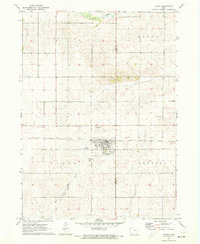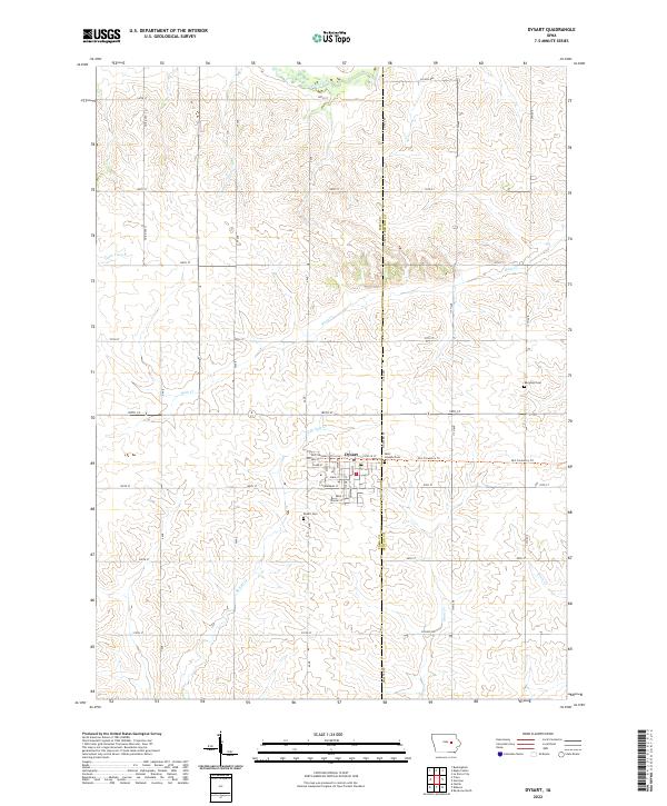
2022 Map of Dysart
USGS Topo · Published 2022About this map
Dysart stands as a central hub in this agricultural landscape, straddling the boundary between Tama and Benton counties. The town's grid is detailed with street-level precision, including thoroughfares like Estelle St and Sherman St, alongside the Old Creamery Trl. This corridor reflects the historical transport and dairy processing infrastructure of the region. The surrounding countryside is defined by the drainages of Wolf Creek, Rock Cr, and E Br Salt Cr, which carve through the Iowa prairie. Genealogical interests are well-served by the presence of several burial sites, including the Dysart Cem just south of town, Saint Josephs Cem to the east, and the more distant Rampton Cem, providing a clear record of local family history and settlement patterns in this part of Iowa.
Find a feature on this map
39 named features on this map. Tap any name to fly to it.
Don’t see what you’re looking for? This feature index may not catch every label — zoom into the map to look around manually.
Map Details
Editions of this 2022 Dysart Map
This is the sole edition of this map. No revisions or reprints were ever made.