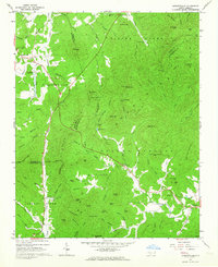
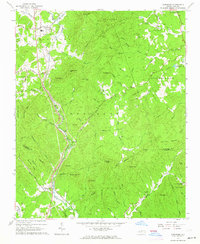
1962 Map of Dysartsville
USGS Topo · Published 1964About this map
The rugged topography of the South Mountain range dominates this 1960s survey, where the borders of Burke, McDowell, and Rutherford counties converge. Steep ridgelines like Propst Mtn and Wolf Pen Mountain overlook a landscape defined by narrow valleys and an intricate network of headwater streams, including the North Fork First Broad River and Silver Creek. These waterways were the lifeblood of small rural communities, from the settlement at Dysartsville to the crossroads at Logans Store and Golden Valley.
Find a feature on this map
95 named features on this map. Tap any name to fly to it.
Don’t see what you’re looking for? This feature index may not catch every label — zoom into the map to look around manually.
Map Details
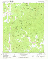
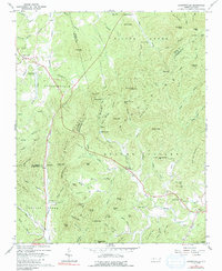
Editions of this 1962 Dysartsville Map
3 editions found
Other maps of this area

1905 · Morganton
USGS Topo · 1:125,000

1950 · Shelby
USGS Topo · 1:62,500

1953 · Charlotte
USGS Topo · 1:250,000

1954 · Charlotte
USGS Topo · 1:250,000

1956 · Benn Knob
USGS Topo · 1:24,000

1956 · Morganton South
USGS Topo · 1:24,000

1960 · Charlotte
USGS Topo · 1:250,000

1962 · Charlotte
USGS Topo · 1:250,000
1962 · Glen Alpine
USGS Topo · 1:24,000
1962 · Glenwood
USGS Topo · 1:24,000