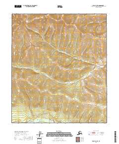
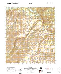
2018 Map of Eagle A-3 NE
USGS Topo · Published 2018About this map
Mt Warbelow stands as the dominant high point in this interior Alaskan wilderness within the Southeast Fairbanks Census Area. The landscape is defined by a dense network of watercourses that drain the high elevations, including the north-flowing Wilson Cr and the winding Mosquito Fork in the southern reaches of the quadrangle. Several distinct drainage paths, such as Fortufive Pup and Buckskin Cr, illustrate the complex hydrology of the region, where seasonal melt and groundwater feed into larger tributaries like Tomato Cr and Old Man Cr. Mapping by the U.S. Geological Survey shows a terrain devoid of permanent modern settlements or roads, preserving a view of the land primarily defined by its topographic and hydrographic features.
Find a feature on this map
13 named features on this map. Tap any name to fly to it.
Don’t see what you’re looking for? This feature index may not catch every label — zoom into the map to look around manually.
Map Details
Editions of this 2018 Eagle A-3 NE Map
This is the sole edition of this map. No revisions or reprints were ever made.
Other maps of this area

1899 · Fortymile
USGS Topo · 1:250,000

1951 · Eagle
USGS Topo · 1:250,000

1956 · Eagle B-2
USGS Topo · 1:63,360

1956 · Eagle A-2
USGS Topo · 1:63,360

1956 · Eagle B-3
USGS Topo · 1:63,360
1957 · Eagle A-3
USGS Topo · 1:63,360

1957 · Eagle
USGS Topo · 1:250,000
2018 · Eagle B-3 SW
USGS Topo · 1:25,000
2018 · Eagle B-3 SE
USGS Topo · 1:25,000
2018 · Eagle A-3 SE
USGS Topo · 1:25,000