
1956 Map of Eagle B-2
USGS Topo · Published 1963About this map
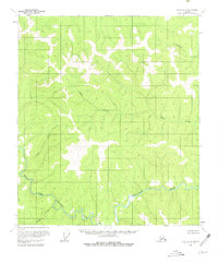
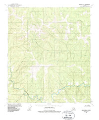
The North Fork Fortymile River and Fortymile River dominate this mid-century topographic record of the Alaskan interior. This era of surveying, based on aerial photography from the mid-1950s, reveals a landscape defined by its drainages, including Columbia Creek, Alder Creek, and King Creek. For those interested in the human footprint on the frontier, the map identifies isolated Cabin locations and unspecified Ruins, providing a clear indication of previous habitation or seasonal activity in this unsurveyed territory. The steep contour work illustrates the narrow valleys formed by Hilda Creek and Wilson Creek as they feed into the larger river systems. This map serves as an important bridge between early prospecting eras and the modern wilderness, marking the locations of structures that were still standing or recognizable during the field annotations of 1956.
Find a feature on this map
9 named features on this map. Tap any name to fly to it.
Don’t see what you’re looking for? This feature index may not catch every label — zoom into the map to look around manually.
Map Details
Editions of this 1956 Eagle B-2 Map
3 editions found
Other maps of this area

1899 · Fortymile
USGS Topo · 1:250,000

1951 · Eagle
USGS Topo · 1:250,000

1956 · Eagle C-1
USGS Topo · 1:63,360

1956 · Eagle C-2
USGS Topo · 1:63,360

1956 · Eagle A-1
USGS Topo · 1:63,360

1956 · Eagle A-2
USGS Topo · 1:63,360

1956 · Eagle B-1
USGS Topo · 1:63,360

1956 · Eagle B-3
USGS Topo · 1:63,360

1956 · Eagle C-3
USGS Topo · 1:63,360
1957 · Eagle A-3
USGS Topo · 1:63,360