
1956 Map of Eagle B-1
USGS Topo · Published 1963About this map
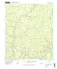
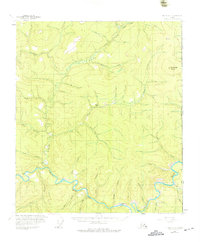
The Fortymile River winds through this interior landscape near the international boundary, defining a region shaped by gold prospecting and transit. Published in 1963 from surveys in the mid-1950s, the map illustrates the early infrastructure of the Taylor Highway and various Tractor Trails that provided access to remote drainages. Mining activity is central to the area's geography, with several Placer Mines noted along Little Miller Creek and the notable Bonanza Bar on the river. The presence of a Road Camp, a Landing Strip (Winter), and the Dome Creek Shelter Cabin highlights the logistical challenges of the era. The terrain is marked by prominent heights like Fortymile Dome and numerous watercourses including O'Brien Creek and Discovery Creek, which served as the primary landmarks for miners and travelers along the Alaska and Yukon border.
Find a feature on this map
41 named features on this map. Tap any name to fly to it.
Don’t see what you’re looking for? This feature index may not catch every label — zoom into the map to look around manually.
Map Details
Editions of this 1956 Eagle B-1 Map
3 editions found
Other maps of this area

1899 · Fortymile
USGS Topo · 1:250,000

1951 · Eagle
USGS Topo · 1:250,000

1956 · Eagle C-1
USGS Topo · 1:63,360

1956 · Eagle C-2
USGS Topo · 1:63,360

1956 · Eagle A-1
USGS Topo · 1:63,360

1956 · Eagle B-2
USGS Topo · 1:63,360

1956 · Eagle A-2
USGS Topo · 1:63,360

1957 · Eagle
USGS Topo · 1:250,000
2018 · Eagle A-1 NW
USGS Topo · 1:25,000
2018 · Eagle B-1 SE
USGS Topo · 1:25,000