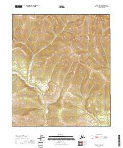
2018 Map of Eagle A-3 NW
USGS Topo · Published 2018About this map
Gold-bearing waters define the drainage patterns of this Alaskan landscape, where the confluence of high-elevation creeks shapes the local topography. The presence of Gold Cr and Moose Cr suggests the historical prospecting activity common to the Southeast Fairbanks region. These waterways flow through a rugged interior terrain characterized by the steep contouring of unnamed peaks, providing a clear picture of the hydrological network that likely guided early exploration and claim-staking.
Find a feature on this map
12 named features on this map. Tap any name to fly to it.
Don’t see what you’re looking for? This feature index may not catch every label — zoom into the map to look around manually.
Map Details
Editions of this 2018 Eagle A-3 NW Map
This is the sole edition of this map. No revisions or reprints were ever made.
Other maps of this area

1951 · Eagle
USGS Topo · 1:250,000

1956 · Eagle B-3
USGS Topo · 1:63,360

1956 · Eagle B-4
USGS Topo · 1:63,360

1956 · Eagle A-4
USGS Topo · 1:63,360
1957 · Eagle A-3
USGS Topo · 1:63,360

1957 · Eagle
USGS Topo · 1:250,000
2018 · Eagle B-3 SW
USGS Topo · 1:25,000
2018 · Eagle A-4 NE
USGS Topo · 1:25,000
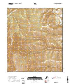
2018 · Eagle B-3 SE
USGS Topo · 1:25,000
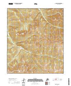
2018 · Eagle B-4 SE
USGS Topo · 1:25,000