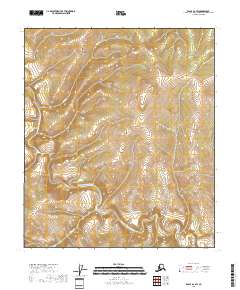
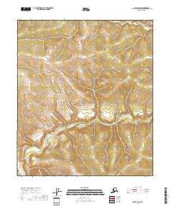
2018 Map of Eagle B-2 SW
USGS Topo · Published 2018About this map
North Fork Fortymile River carves a winding path through this corner of the Southeast Fairbanks Census Area, serving as the dominant geographic feature in an area defined by its watercourses and elevation. The 2018 survey reveals a terrain shaped by the tributaries of the Fortymile watershed, including Hilda Cr in the north and Wilson Cr to the southwest. The grid system of township and range lines, such as t7s r29e and t3s r30e, provides a structural framework for this interior Alaska landscape. This map captures the region in its modern state, reflecting the enduring hydrography of a historic gold-producing district where the river systems have long dictated the patterns of movement and land use.
Find a feature on this map
9 named features on this map. Tap any name to fly to it.
Don’t see what you’re looking for? This feature index may not catch every label — zoom into the map to look around manually.
Map Details
Editions of this 2018 Eagle B-2 SW Map
This is the sole edition of this map. No revisions or reprints were ever made.
Other maps of this area

1899 · Fortymile
USGS Topo · 1:250,000

1951 · Eagle
USGS Topo · 1:250,000

1956 · Eagle B-2
USGS Topo · 1:63,360

1956 · Eagle A-2
USGS Topo · 1:63,360

1956 · Eagle B-3
USGS Topo · 1:63,360
1957 · Eagle A-3
USGS Topo · 1:63,360

1957 · Eagle
USGS Topo · 1:250,000
2018 · Eagle B-3 SE
USGS Topo · 1:25,000
2018 · Eagle B-2 NW
USGS Topo · 1:25,000
2018 · Eagle B-2 SE
USGS Topo · 1:25,000