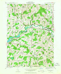
1944 Map of Eagle Bridge
USGS Topo · Published 1966About this map
The Hoosic River winds through this landscape, serving as the jurisdictional divide between Washington Co and Rensselaer Co. In 1944, the Boston and Maine railroad line followed the river's path, connecting agricultural hubs like Eagle Bridge, Buskirk, and East Buskirk. The terrain is defined by numerous small water bodies, including Golden Pond and Wing Pond, alongside several rural schools such as School No 4 and School No 3. For genealogists, the map identifies small, scattered settlements like Center Cambridge and West Hoosick, as well as the Woodside Cem located near the southern boundary. The prevalence of named brooks like Nipmoose Brook and Whipple Brook indicates a well-watered agricultural region where transportation was closely tied to the topography of the river valley.
Find a feature on this map
34 named features on this map. Tap any name to fly to it.
Don’t see what you’re looking for? This feature index may not catch every label — zoom into the map to look around manually.
Map Details
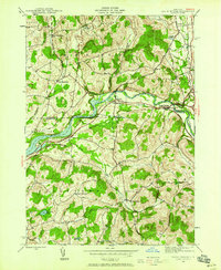
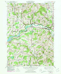
Editions of this 1944 Eagle Bridge Map
3 editions found
Other maps of this area

1893 · Cohoes
USGS Topo · 1:62,500

1895 · Cohoes
USGS Topo · 1:62,500

1895 · Cambridge
USGS Topo · 1:62,500

1897 · Hoosick
USGS Topo · 1:62,500

1898 · Cambridge
USGS Topo · 1:62,500

1898 · Cohoes
USGS Topo · 1:62,500

1900 · Taconic
USGS Topo · 1:125,000

1900 · Schuylerville
USGS Topo · 1:62,500

1901 · Cambridge
USGS Topo · 1:62,500

1903 · Mettawee
USGS Topo · 1:125,000