
1962 Map of Eagle Butte
USGS Topo · Published 1964About this map
Warm Springs Indian Reservation lands dominate this early 1960s landscape, where the confluence of the Deschutes River and Warm Springs River creates a distinct natural and cultural boundary. The map illustrates a period of local development on the Agency Plains, evidenced by organized drives like Columbia Drive and Adams Drive and the emerging community of Agency. Nearby, industrial and recreational footprints are visible at the Lumber Mill and Kahneeta Hot Springs. Traces of older infrastructure persist along the river corridors, including the Old MC Railroad Grade and the Old RR Grade near Mecca. Higher elevations are marked by significant landmarks like Eagle Butte, which features a lookout, and Tee Wees Butte, while the Dry Creek Cem provides a point of interest for genealogists tracing local families in this corner of Jefferson County.
Find a feature on this map
39 named features on this map. Tap any name to fly to it.
Don’t see what you’re looking for? This feature index may not catch every label — zoom into the map to look around manually.
Map Details
Editions of this 1962 Eagle Butte Map
This is the sole edition of this map. No revisions or reprints were ever made.
Other maps of this area

1928 · Madras
USGS Topo · 1:125,000

1931 · Madras
USGS Topo · 1:125,000

1955 · Bend
USGS Topo · 1:250,000

1957 · Bend
USGS Topo · 1:250,000

1958 · Bend
USGS Topo · 1:250,000
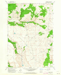
1962 · Simnasho
USGS Topo · 1:24,000
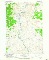
1962 · Kaskela
USGS Topo · 1:24,000
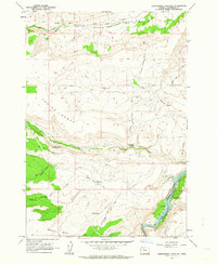
1962 · Seekseequa Junction
USGS Topo · 1:24,000

1962 · Gateway
USGS Topo · 1:24,000
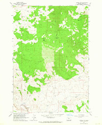
1962 · Mutton Mtn
USGS Topo · 1:24,000